1
/
of
3
Sausalito Ferry Co
Golden Gate Bridge General Plan and Elevation Blue Print
Golden Gate Bridge General Plan and Elevation Blue Print
Regular price
$29.00 CAD
Regular price
$0.00 CAD
Sale price
$29.00 CAD
Unit price
/
per
Shipping calculated at checkout.
Couldn't load pickup availability
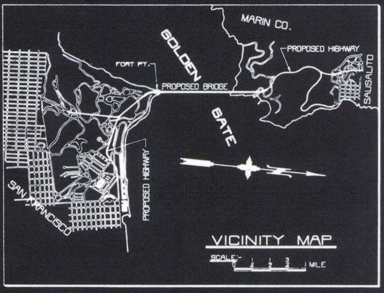
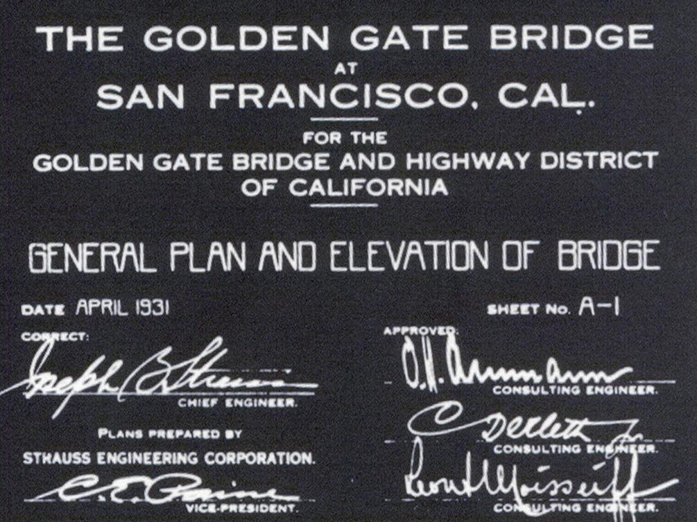
Authentic reproduction of the original blue print of the general plan and elevation of the Golden Gate Bridge. Overhead and horizontal elevations give dimensions of the bridge as well as an insert showing location of the bridge between Fort Point on the San Francisco side and Lime Point on the Marin side. Signed by the lead engineers and dated April 1931. Actual background color of the print is a dark indigo blue though it may look black as pictured. 34" X 12".
Share


